Model forecast
Coast, cloud and altitude
Madeira weather: choose the right side of the island
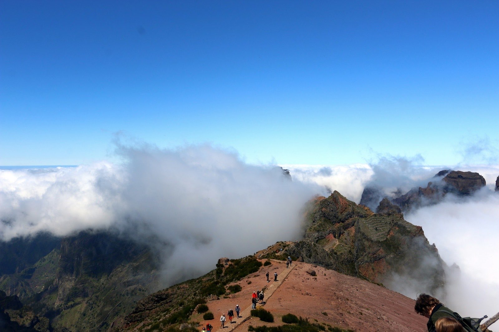
A short drive can take you from a warm seafront into cool mountain cloud. Slope, exposure and altitude matter as much as distance. Start with the place you want to visit, then check the conditions for the time you will be there.
Check before you set off
A forecast, an observation and a camera image answer different questions. Check the time shown on each; a saved update may already be out of date.
Official warnings
IPMA warnings (opens in a new tab)
Observations and forecasts
Mountain weather
Airport observations and forecast
Flight outlook
Camera images
Webcams
Explore the island with MadeiraSun
Drag or zoom the island and change the time to compare places. Forecast colours describe the model outlook; they do not confirm trail access or safe swimming.
Why the island changes so quickly
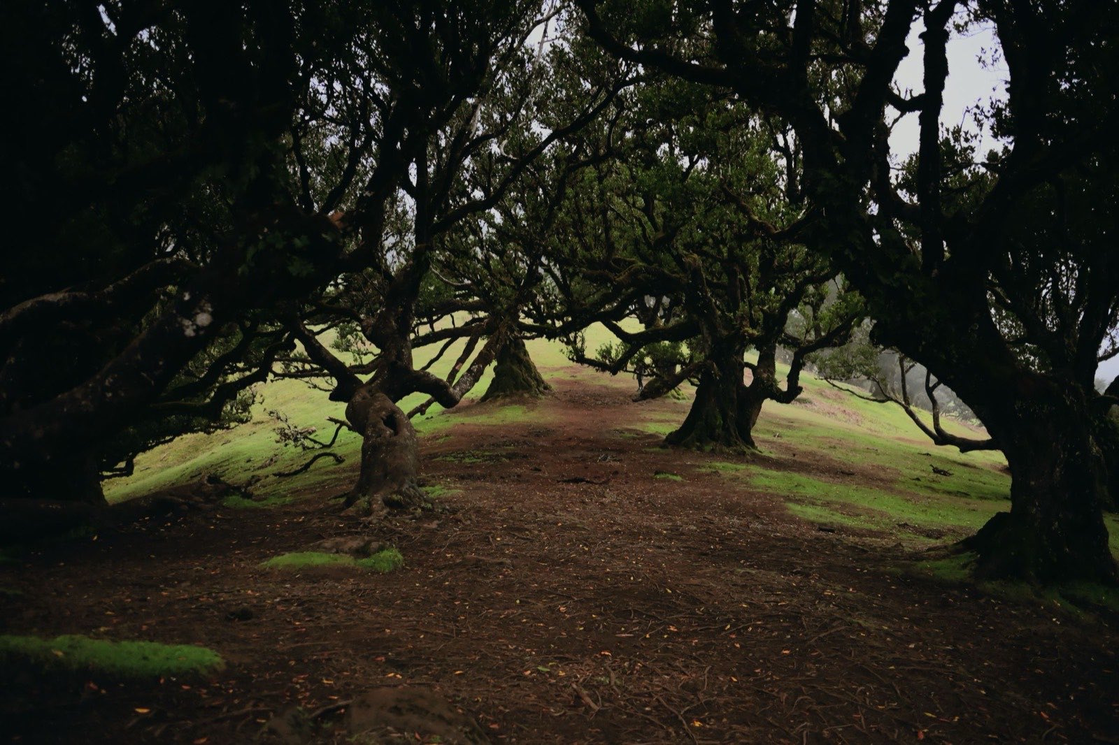
Moist Atlantic air meets a mountain barrier. With a northeasterly trade-wind flow, air rising on the northern slopes cools and can form cloud and rain. Air descending towards the south can be drier: the rain-shadow effect. This is a useful pattern to understand, not a rule for every day.
Moist air rises
Cooling, cloud and rain
Cooler at altitude
Drier air descends
Five areas, five useful checks
These are broad planning areas, not separate forecast zones. Local slopes still matter, and Funchal’s climate figures cannot stand in for the entire island.
| Area | Typical character | What it changes | Best next check |
|---|---|---|---|
| South coast | Usually warmer and drier than the north and high ground. | Choosing a coastal walk or beach day. | Compare the local forecast with a coastal webcam; check sea warnings separately. |
| North coast | More exposed to wind and rainfall; conditions can differ from the south. | Planning a coastal drive and its stops. | Look at cameras along your route and read the north-coast warnings. |
| East: Machico, Caniçal and the airport | A bay, a peninsula and an airport are different places to check. | A coastal walk and a flight need different information. | Use the route’s trail notice for a walk, and the aviation outlook for a flight. |
| Western plateau: Paul da Serra | High ground with access to levadas; coastal warmth is a poor guide here. | Choosing a walk and checking the journey to its start. | Read the mountain weather and the notice for your specific trail. |
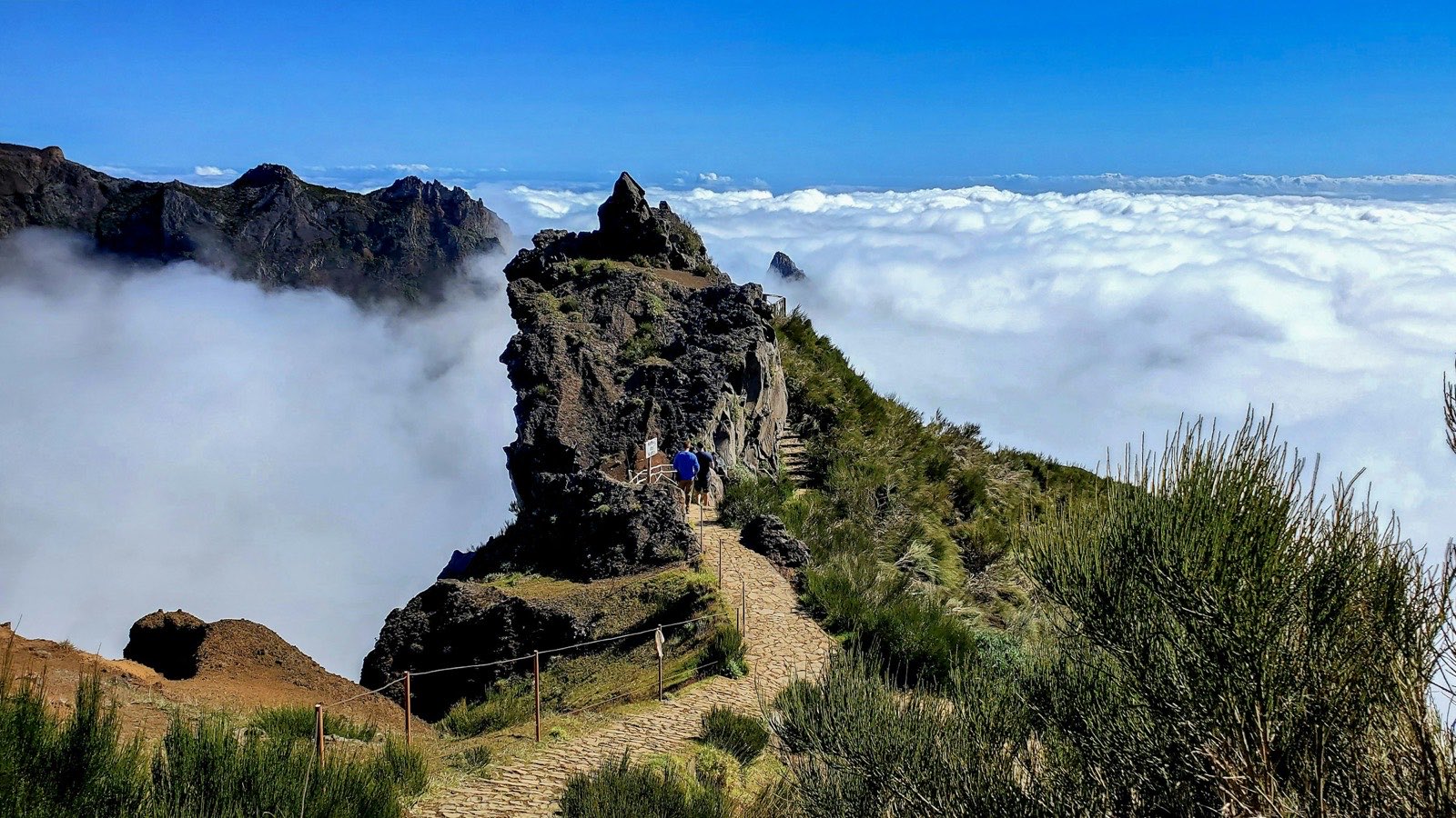
| High peaks | Cooler mountain conditions, with cloud and exposure that a coastal forecast can miss. | Deciding whether to head for a summit viewpoint or walk. | Check mountain warnings, weather and a recent summit image together. |
The coast and the mountain, in numbers
Monthly climate normals describe long-term averages. They help with seasonal planning; they are not today’s weather or a forecast for your trip.
January
| Monthly measure | Funchal/Observatório · 58 m · 1991–2020 | Areeiro · approximately 1,590 m · 1961–1990 |
|---|---|---|
| Mean daily maximum (°C) | 20.0 | 8.0 |
| Mean daily minimum (°C) | 14.3 | 2.9 |
| Mean monthly rainfall (mm) | 67.1 | 437.8 |
| Mean days with at least 1 mm of rain | 6.2 | 17.2 |
Turn the weather into a plan
Choose the check that can change your decision. A favourable general forecast does not override a closure, a warning or an operator’s instructions.
| Your plan | Check first | Use the answer | Continue planning |
|---|---|---|---|
| Beach or swimming | Local forecast, sea warnings and the conditions at the beach. | Use sunshine to choose where to spend time, not whether to enter the water. Follow beach flags and local instructions. | |
| Levada walk | IFCN status for the exact trail, weather along the route and official warnings. | Check again before leaving. If the route is closed, choose an open alternative or a rainy-day plan. | |
| Summit or ridge | Mountain weather, official warnings, trail status and a recent camera image. | Do not infer summit visibility from a sunny coast. Reconsider the outing if the checks do not support it. | |
| North-coast drive | North-coast warnings and cameras near your intended stops. | Keep stops flexible and follow road closures and local instructions. An indoor destination does not remove weather from the journey. | |
| Flight | The aviation outlook, airport flight status and your airline’s updates. | Use the outlook for context. The airline and airport confirm the status of your flight; an island sunshine score cannot do that. |
Plan by month
Choose your travel month for temperatures, rainfall, sea context and seasonal plans.
Sources and limits
The numbers come from IPMA’s checked climate series; the regional descriptions explain broad patterns. Live tools have their own timestamps and sources. MadeiraSun explains its providers under “About & sources” on the full site.
- IPMA: Funchal/Observatório normals, 1991–2020 (opens in a new tab)
- IPMA Madeira bulletins: Areeiro normals, 1961–1990 (opens in a new tab)
- IPMA older Funchal document: sunshine series, 1971–1991 (opens in a new tab)
- Visit Madeira: weather and microclimates (opens in a new tab)
- IPMA: summer 2011 bulletin, Madeira airflow example (page 5) (opens in a new tab)
- Visit Madeira: Paul da Serra (opens in a new tab)
- IPMA: official weather warnings (opens in a new tab)
- IFCN: trail status and notices (opens in a new tab)
- Madeira Airport: real-time arrivals (opens in a new tab)
- MadeiraSun: forecast, dates and source explanation (opens in a new tab)