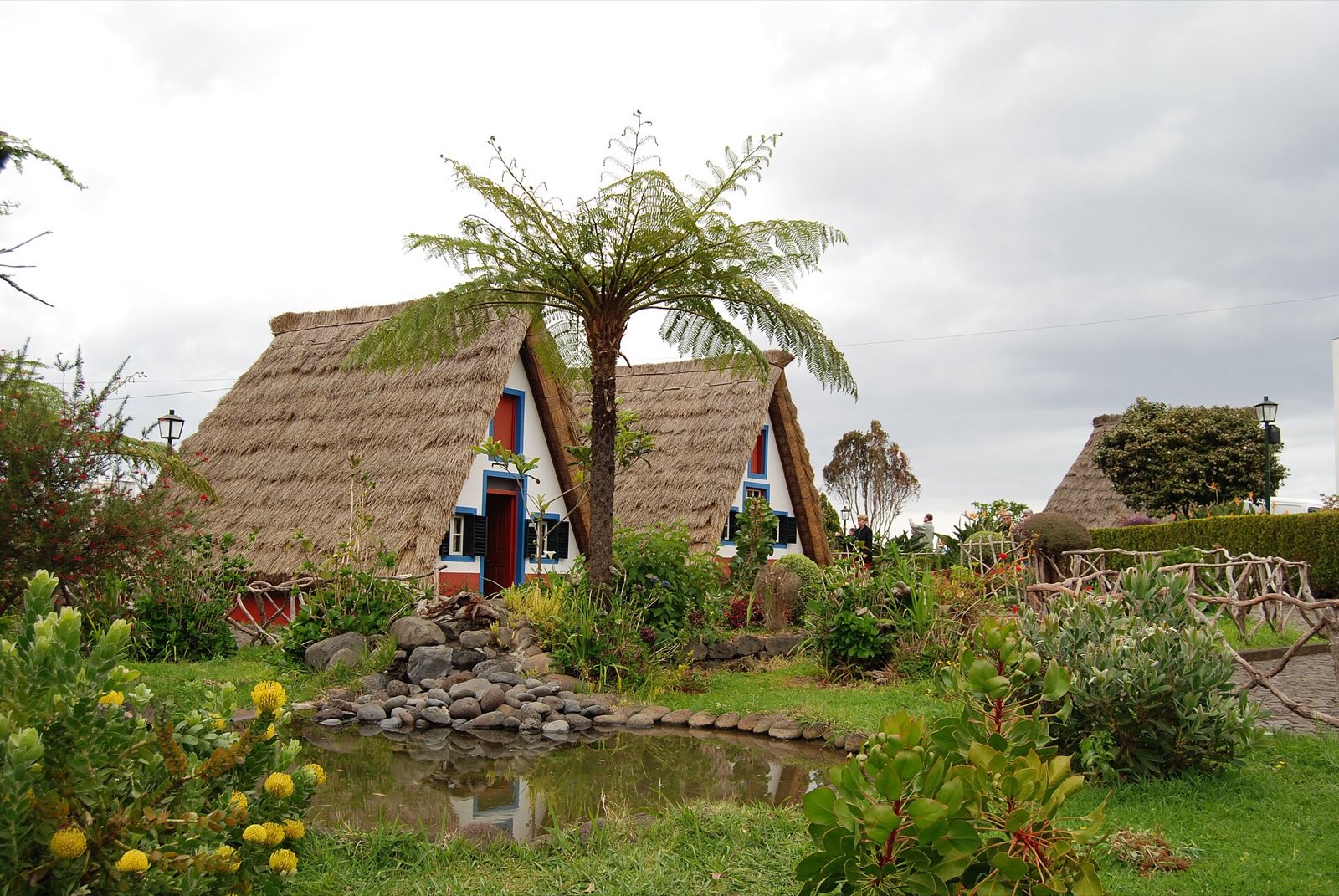
The north coast gets the weather the south is sheltered from, and by a much wider margin than the guidebooks state: 1,383 mm of rain a year here against 596 mm at Funchal, on the 1971–2000 normals. The thatched houses are the postcard. The reason to drive up is behind them, on the ridge that carries the highest ground on the island.
No live camera here
Santana’s camera is offline — it may come back, and we re-check. Nothing else on the north coast east of Seixal is live, so there is no honest substitute to offer you here.
What is here
Each of these is a page on this site about something in this area. The line under it is why you would go, not what the page is called.
PR1 crosses the ridge above. The exit on this side is PR1.2, 2.8 km down to Achada do Teixeira — and IFCN states plainly that it provides no transport back to the car you left at the far end.
Whether the summits are in cloud is a different question from whether it is raining down here, and the upland cameras answer it before you drive.
Getting there
Over the central ridge from Funchal, or the long way round through Machico. No bus number is printed here: this site publishes them only where it has checked them against the operator’s own destination guides, and Santana is not one of the four.